Copy homework ❗Self-driving 331 Northeast section without pitfalls route, pure dry goods
J
Jon
5 days ago
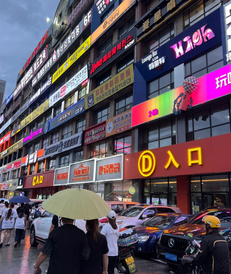
1️⃣Dandong:
🎫Check-in point: Weihao Market-Heshi Bird's Nest (Dandong Word Wall)-Zhonglian Hotel (overlooking the Yalu River)-Yalu River Broken Bridge-Anton Old Street
2️⃣Dandong-Ji'an:
I heard that some routes are super difficult to walk, so we first went to the Hunjiang Turn with our navigation, and then continued to Ji'anThe whole journey was very easy to walk. Dandong was a little crazy when we just came out, but it was not far
3️⃣Ji'an:
Arrived at night, went to Huoben Street first, 50 per person
🎫Check-in point: Ji'an Morning Market-Dajita Square-Lao Biekang (flooded when we went there)-Goguryeo Maru Mountain City-National Gate
Food: Yinglan Pot-Boiled Pork, very delicious, just near Dajita Square~
4️⃣Changbai Mountain West Slope:
Changbai Mountain is very large, with southeast, northwest and northwest slopes. We chose the west slope where there are relatively few people.
Tickets need to be booked in advance. We closed the mountain due to rain, so we chose to take the kids to dig ginseng and pick blueberries🫐, which was also a great experience.
There is a Wanda Resort on the west slope, and the accommodation includes some entertainment activities. You can consider staying for a night to repair.
5️⃣ Yanbian:
🎫 Check-in point: Internet celebrity bullet screen wall-Korean Folk Village-Floating Market-West Market
My hometown Qingdao is too close to South Korea, so I am not very interested here~
The streets are full of barbecues. Everyone can choose according to their own preferences. The price is high in the Northeast, but it is not outrageous.
6️⃣ Dongning:
I originally planned to go to Vladivostok, so I went to Dongning.
🎫 Check-in point: Dongning Fortress~
7️⃣ Suifenhe:
⭐City walk route → Rentou Building → Former Site of the Soviet Consulate → Suifenhe Museum → Former Site of the Orthodox Church → Memory of the Middle East Railway → Centennial Port→Dabailou
⭐Love Valley (although a bit earthy, the air is really good, 520 meters above sea level, quite interesting~)
I like this city very much, very warm and loving, and there are many Russians~ full of exotic customs
8️⃣Hegang:
I didn’t play, just passed by for a while, it’s closer to Yichun Deer Park from Hegang, and the barbecue in Hegang is more delicious~
9️⃣Yichun:
🎫Check-in point: Jinshan Deer Park-Tangwang River Forest
There are many forest parks in Yichun, just choose the ones you are interested in, you don’t have to go to every one~
🔟Heihe:
🎫Check-in point: Mother Square-Heilongjiang Park Boundary Monument-Ma Zhanshan Memorial Hall- Memorial Hall of Overseas Chinese in Russia-Heihe Chamber of Commerce-Citizen Cultural Center-Aihui Tengchong Line Theme Park
🚘The RV camp in Heihe is very good, and many people come here to rest
11. Tahe: It is still a small county town that you pass by. After passing by, you continue to rush to Mohe~ There is a small camp in Tahe, which is also very good~
12. Mohe:
🎫Check-in point: I didn’t go into the Mohe dance hall. The small county town of Mohe is very small. You can stroll around and see it. Many people come here to go to the Arctic Village. When I went there ten years ago, I didn’t need a ticket, so I didn’t go this time
The recommended routes are basically one-day self-driving tours, not in-depth tours. The most beautiful scenery is on the road.
1 likes
Comments
Sign in to join the conversation
Sign InNo comments yet. Be the first to share your thoughts!